The short version
The Dallas flood zone map is FEMA's flood map, searchable by address. Trinity River levees reduce river flooding but not every street or creek flood. Most homeowners policies exclude flood damage, so check the zone and get a flood quote before the next storm.
What is the Dallas flood zone map?
The Dallas flood zone map is FEMA's flood map, which shades land by flood risk and labels each area with a zone letter. Texas disclosure notices use that map. A home in a high-risk zone is in the 100-year floodplain, meaning a one percent chance of flooding in any year.
The map covers the whole Dallas area, from the Trinity River bottoms to the small creeks that run through older neighborhoods. A zone letter on a map is a risk label, not a record of what has already happened at an address.
| Map term | Zones named in the Texas notice | What it means for you |
|---|---|---|
| 100-year floodplain | Zones A, V, A99, AE, AO, AH, VE and AR, the Special Flood Hazard Area | High risk. Ask your lender and agent about flood insurance |
| 500-year floodplain | Zone X shaded, the Moderate Flood Hazard Area | Lower risk, still a real one. Compare quotes |
| Floodway | Asked about separately on the seller notice | Read the notice closely and ask your agent what applies |
| Flood pool or reservoir | Also asked about separately on the seller notice | Ask whether the property has ever taken in water |
These definitions come from the enrolled text of SB 339, the 2019 law behind the Texas seller's flood questions. The guide to buying a flooded house shows how those questions work in a sale.
How do the Trinity River levees protect Dallas?
The Dallas Floodway levee system runs along the Elm Fork and West Fork of the Trinity River through downtown Dallas, keeping high water off the land behind it. Pump stations move floodwater from the protected side to the river. The system is a defense, not a promise of dry ground.
The City of Dallas Water Utilities flood control brochure says the levees protect 10,000 acres of residential and densely developed commercial and industrial property valued at more than $12 billion. That figure dates from the brochure's March 2020 edition. The City took over operation and maintenance in 1968, under Army Corps of Engineers regulation.
The Trinity River Corridor page says sumps and drainage serve 51 square miles of watershed, with six pump stations moving floodwater to the river and a seventh serving the Rochester Levee. The East and West levees date to the early 1930s and were upgraded by the Corps in the 1950s.
Wikipedia adds that the river was rerouted in the late 1920s and has been little more than a drainage channel within a floodplain for several miles above and below downtown. Levees lower the chance of river flooding, so confirm what the map says about your own address.
Neighborhoods behind the levees still depend on pumps and drainage working during storms, which is why the City's brochure lists pump counts and flooded roadway sites. Homes elsewhere in the city depend on local creeks and storm drains instead.
Which Dallas creeks and lakes affect flooding?
Besides the Trinity, smaller creeks such as White Rock Creek and Turtle Creek carry runoff through the city, and upstream reservoirs hold back water on the Trinity's forks. Where you live in relation to those channels matters more than distance from the main river.
According to Wikipedia, White Rock Creek feeds White Rock Lake and then reaches the Trinity River southeast of downtown. The same article notes marked variation in terrain along Turtle Creek north of downtown.
North of the city, Lewisville Lake on the Elm Fork was built for flood control and water supply, and Grapevine Lake on Denton Creek lists flood control as a primary purpose. Joe Pool Lake was built partly to bring flood control to the Mountain and Walnut Creek watershed.
These lakes help but do not remove risk downstream. Read the Lewisville Lake, Grapevine Lake and Joe Pool Lake articles for the history.
Can my Dallas street flood outside the mapped floodplain?
Yes. Heavy rain can flood a street, a yard or a low door even where the map shows no floodplain, because drains and creeks can fill faster than they empty. Flat ground and hard surfaces send runoff to low spots, so grading and drainage around the house matter.
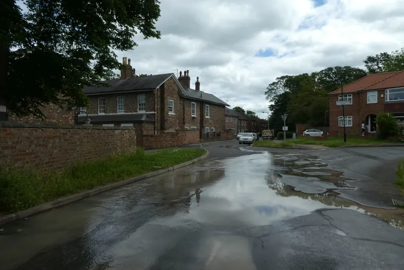

The National Weather Service normals for DFW Airport show 37.01 inches of precipitation in a normal year, with 10.9 days a year at 1.00 inch or more. The record 24-hour rainfall at DFW is 9.57 inches, set in September 1932. The May 5, 1995 Mayfest storm brought rain at rates near 2.25 inches in 15 minutes over Dallas County.
The City of Dallas brochure counts 41 flooded roadway sites. The NWS says 15 people died in Dallas County in the 1995 storm, several after driving into high water.
Ready.gov's flood page makes the point plainly: six inches of moving water is enough to knock someone over, and a foot of it can carry a vehicle off. Never drive through a flooded street.
How do I check my address on a flood map?
Search FEMA's flood map by street address, read the zone letter, then confirm it with the people who have the most reason to know: your landlord, your seller, your insurance agent and your neighbors. The Texas landlord notice itself states that FEMA's flood map is searchable by address at no cost.
- Type the full address into FEMA's flood map search and note the zone letter and any shading.
- Save a screenshot with the date, since maps are revised over time.
- Check the neighbors' lots too. Water follows the slope, not the property line.
- Read the notice. Sellers answer flood questions on the disclosure form, and landlords give a flood notice with the lease. See HB 531.
- Ask your agent for a flood quote for the exact address, whatever the zone.
- Call for levee questions. The City brochure lists the Dallas Floodway office at 214/671-6015.
Keep the map result with your closing or lease papers, because lenders, agents and insurers may all ask for it later. A zone can change when FEMA revises the map, so run the search again before you renew a policy or sign a new lease.
The brochure also names fc.dallascityhall.com as the City's real-time weather page. For a leak or water main break on the street, the City says to call 3-1-1 or use Dallas 311 online or the mobile app.
Does my flood zone change what insurance pays?
The zone does not change what a standard policy excludes. FEMA notes that flood losses mostly fall outside homeowners coverage, and Triple-I points to the NFIP or a few private insurers for a stand-alone flood policy. Buy it before water is forecast, and ask when it takes effect.
The NAIC explains that ground water, rain runoff and snow-melt damage is usually left out of a homeowners policy, but a failed pipe or a roof leak is usually in. Triple-I says a sewer backup is covered by neither a typical homeowners policy nor flood insurance, so it needs an endorsement or separate product.
Renters face the same split. The Texas landlord notice says most tenant insurance policies do not cover flood damage. The insurance claims guide and the loss of use coverage guide explain what to ask.
What should I do if flood water gets into my home?
Stay out until the power is off and the water is safe to enter, then photograph everything. The IICRC S500 standard rates river, stream and outside surface flood water as Category 3, which means grossly contaminated. Do not treat it like a plumbing leak.

- Leave the area if water is rising or the electrical panel is wet.
- Photograph and video the water line and damaged contents before moving anything.
- Call your insurer and your flood insurer, if you have one.
- Wear boots and gloves for cleanup, as the CDC recommends for mold and flood cleanup.
- Dry out in the first 24 to 48 hours, which the EPA and CDC both advise.
The flood cleanup guide goes through the steps and sewage exposure and health covers contaminated water. If the source was a burst pipe rather than outside water, see burst pipe water damage.
When should I call a restoration provider after a flood?
Call as soon as it is safe to enter. Flood water is contaminated, and soaked porous materials such as carpet pad, insulation and drywall are usually removed rather than dried in place. Providers differ in what they handle, so ask directly what is included before work starts.
- Ask which materials will be removed and which will be dried.
- Ask for the scope in writing and for a copy of any form before you sign.
- Ask how moisture will be measured and whether you will see the readings.
This site connects callers with independent restoration providers and does not rank them. Read how to choose a restoration company first. More reading is in the Dallas water damage guides.
Sources: SB 339 (2019), seller's disclosure notice, enrolled text; HB 531 (2021), landlord flood disclosure, enrolled text; Trinity River Corridor, Dallas Levee System; Dallas Water Utilities flood control brochure, March 2020; Dallas Water Utilities home page; NWS Fort Worth/Dallas, DFW records and normals; NWS Fort Worth/Dallas, the Mayfest storm; Ready.gov, Floods; FEMA flood insurance FAQ; Triple-I on covered disasters; NAIC homeowners consumer page; IICRC S500 water categories; CDC, About Mold and Your Health; EPA mold and moisture guide; Wikipedia, Dallas.